Through maps people sought to explain where they were and the way things were. (John Noble Wilford)
Maps are a construction, an abstraction, an arrangement of markings that relates to spatial “reality” only by agreement, not by sensory testability. (Arthur Howard Robinson)
Translation is a dangerous and indispensable art. (Adrienne Rich)
The very best map reader has to suffer some shocks when he comes face to face with reality. (Josephine Tey)
n my Surveys I set out as a naive tourist, without research and without preconceptions, stopping to photograph whatever catches my eye and filming the roads with a low-resolution Flip video camera mounted to my dashboard.
I want to contrast the abstract knowledge of my drawn map—with its elevations and guide meridians and standard parallels—with the experience I have standing on the same ground. What can I understand that I couldn’t know from the map?
When I saw the location of Fort Falls on a map I didn’t know what the water would sound like. When I drew Section 35, dotted with lakes like holes in a sponge, I couldn’t know that driving through this section would feel like driving through an ocean of grass.
I drive on state and county roads and sometimes barely any road at all, using a printed map for my general route. I follow my nose instead of a GPS and I’m never sure, when I take an unplanned turn, what I’ll find. A simple vellum overlay on a road atlas map is the low-tech way I track the sections I’ve visited.
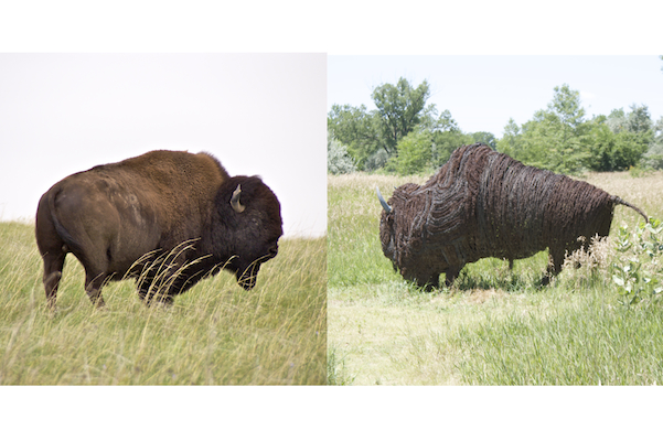
My video of the Cather Prairie captured two observers photographing the same scene, emphasizing for me the constructed nature of what I was seeing and how I was seeing it. But I also realize that I can value both the natural and the cultivated, that the animal bison and the wire bison are both beautiful, and that the physical geography and the cultural geography are equally important.
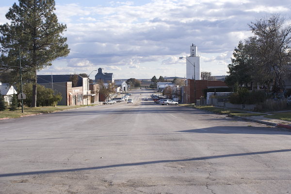
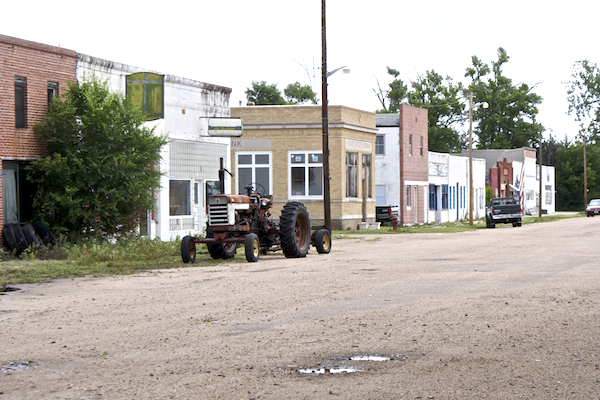
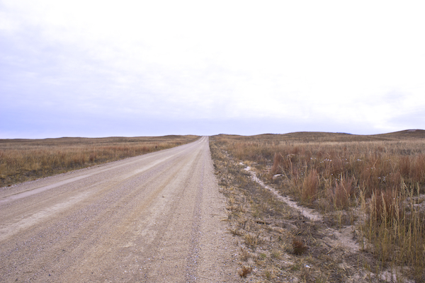
Without my travels, I wouldn’t have experienced the optimism of a small town’s wide streets, or the melancholy of empty buildings on a town’s main street or the tenderness of an open road on a quiet fall day.
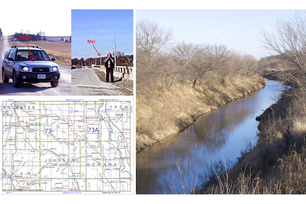 Photographing the Little Nemaha (Section 073)
 Hwy 71 N of Crawford (Section 011)
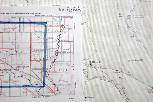 Locator Map, Section 001 in progress
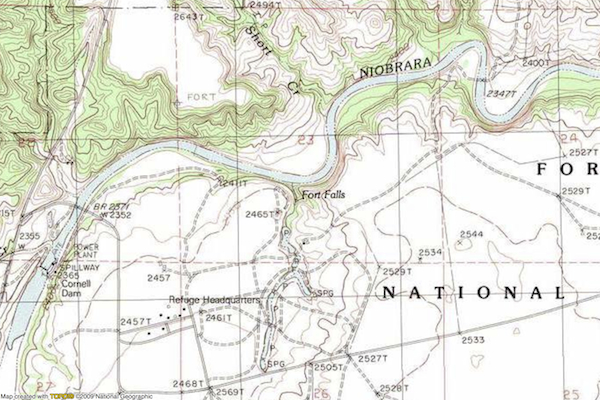 Fort Niobrara topo map
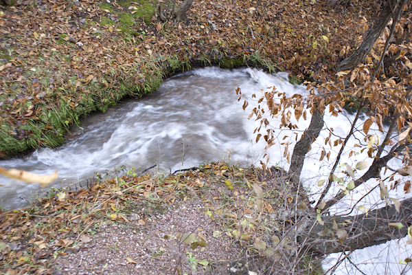 Fort Falls, Fort Niobrara (Section 006)
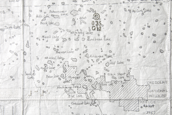 Locator Map, Section 035
 Crescent Lake NWR (Section 035)
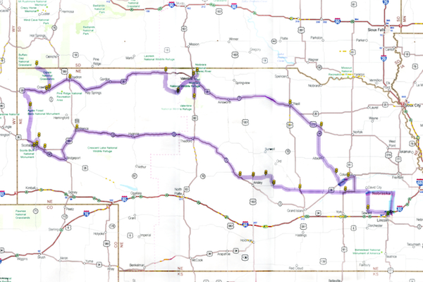 Trip 3 road map
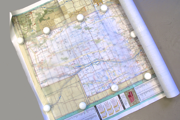 Nebraska road map with section overlay
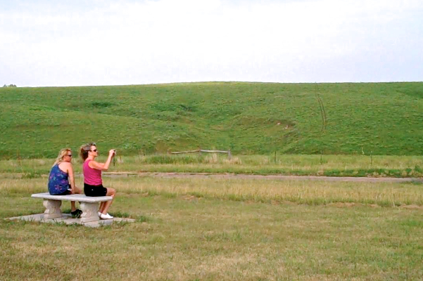 Cather Prairie (Section 079)
 Fort Niobrara (Section 006) and Gothenberg (Section 058)
 Hay Springs (Section 009)
 Dunning (Section 032)
 Fort Niobrara (Section 006)